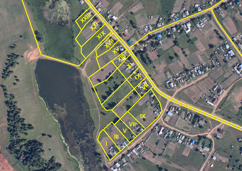


BOUNDARY DEMARCATION AND SURVEYS
Without doubt, this is a basic function of the land surveyor. However, it becomes complicated when legal documents often with general boundary descriptions and old plans are to be interpreted and demarcation undertaken to establish ancient boundaries. Our rich experience over the years in the following types of boundary demarcation & survey, places us at the forefront of this exercise:
- Customary boundary demarcation
- Re-demarcation of forest reserves
- Demarcation of mining concessions
- Families & individuals land demarcations.
