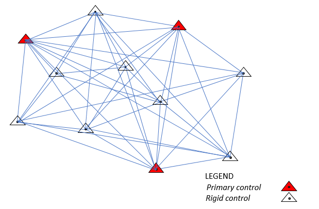
We use various modern survey equipment (GNSS/GPS) to establish ground and rigid control networks {Plannimetric and Vertical (N,E,H)} to the highest accuracy for photogrammetric and construction purposes. In addition, with experienced geodesists, we determine appropriate transformation equations and parameters in transforming various coordinate types from one coordinates system to the other. We have established many ground/rigid controls on various projects which are in use for various survey works. Our ground control provision services meet national and international standards. The success of spatial projects, it is said depends largely on the quality of the controls used and this is the drive. Depend on us for your reliable survey controls.