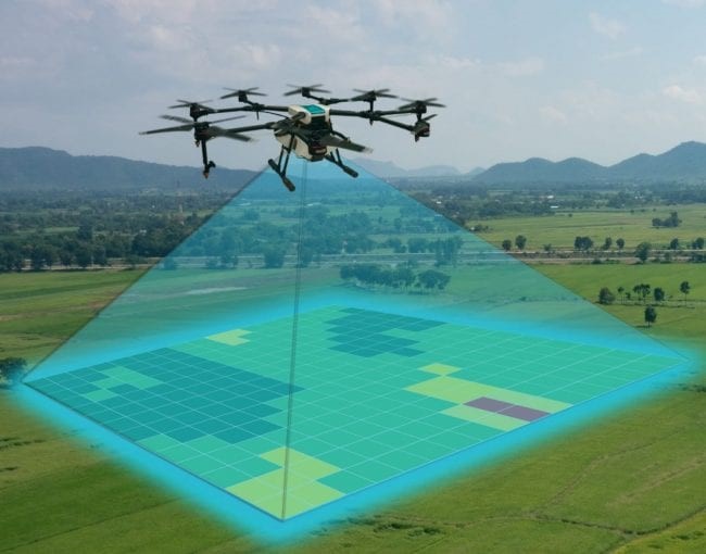
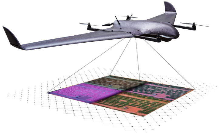
Mapping with UAVs (Drones) has proven to be a smart technological approach to surveying that is reliable, cost-effective, and very efficient. A-M Surveys makes use of UAV technology to provide mapping solutions for clients in and across the West African Sub Region. Our team of geospatial specialists and Remote Piloted Aircraft System (RPAS) licensed Pilots, utilize UAV technology to capture high-resolution aerial images or LIDAR data. The data captured are used by individuals and industries for a wide range of purposes after it has been run through purpose-related modes of processing in-house. The use of UAV technology and its application does not only ease the mapping task, it makes it fun as well. With the evolving nature and versatility of this technology, our team of dedicated staff continues to work and research into emerging and proven Artificial Intelligence (AIs) software to deliver smart solutions. We, therefore, see every opportunity to apply UAVs as golden in this drive.