The bathymetric team at A-M Survey limited have vast experience in mapping underwater features and measure the depth of water bodies for various purposes including
Volume determination
Maritime navigation
Marine construction
Dredging
Offshore oil exploration
Offshore oil drilling
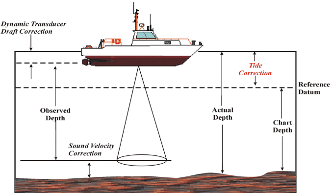
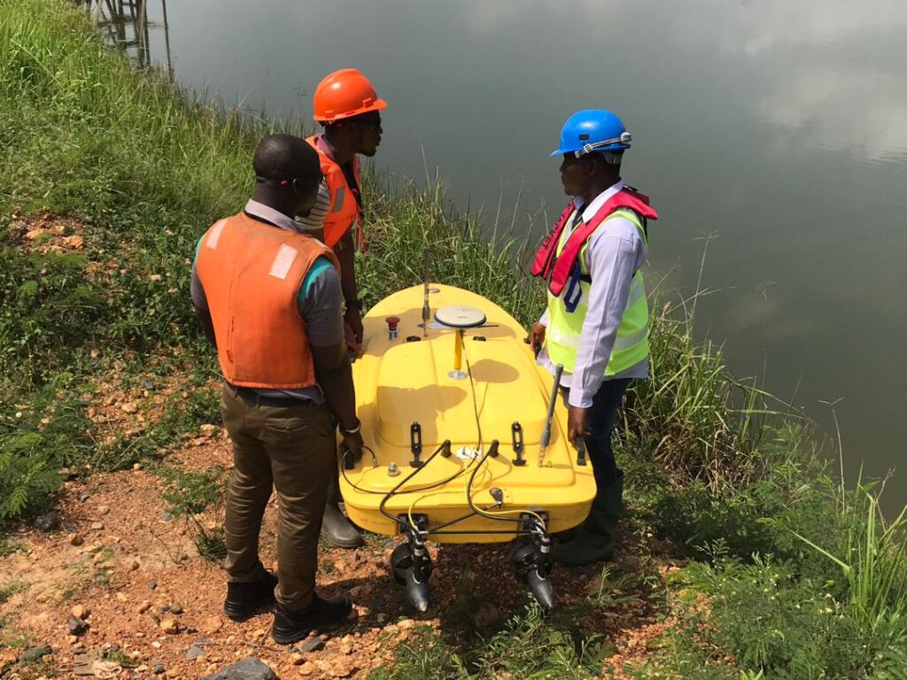
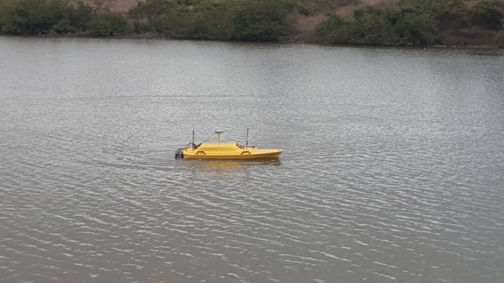
We make use of manned and unmanned boats with powerful echo sounders onboard (dual frequency single beam and multibeam echo sounders) for data capture. Our echo sounders are for precision mapping of the seabed, complying with the performance standards defined by the International Hydrographic Organization’s performance standards. The state-of-the-art instruments are all characterized by high mapping productivity in combination with exceptionally high sounding accuracy, and a dense pattern of soundings to cover the seafloor to reveal all details on the bottom. Software in-house for processing and analyzing (to produce a detailed Bathymetric chart/map) are the leading ones in the industry. Our highly innovative team; both in-house and on-site, works hand in hand with clients to come up with standard charts/maps that fit client/project specifications. We will be happy to work with you on your pending projects. Get in touch for free consultations!