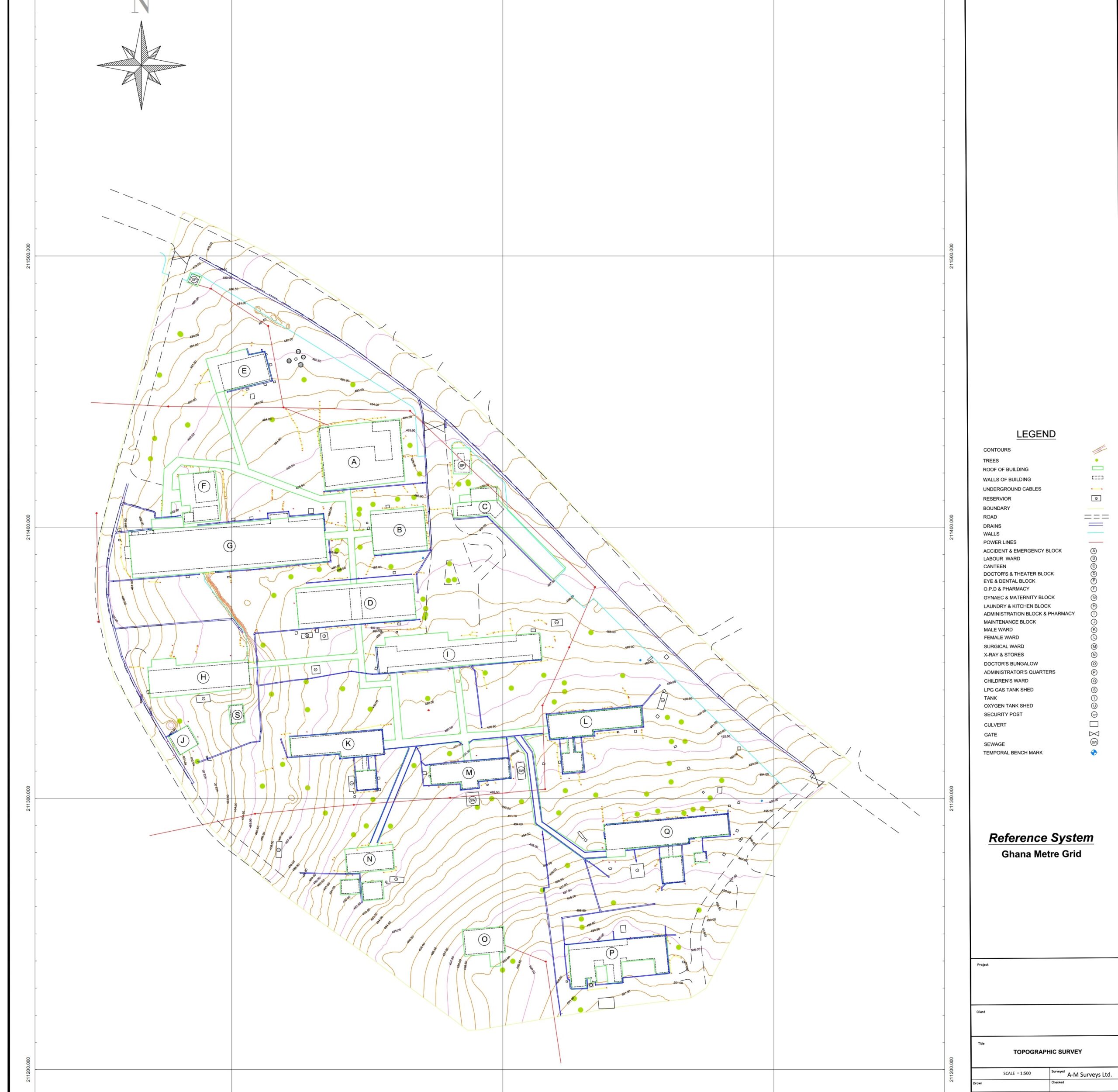


TOPOGRAPHIC SURVEYS
The specialized Geomatic engineering team at A-M Surveys is dedicated to providing topographical survey services that meet industry standards and project-specific requirements. We, work hand in hand with our clients to ensure tailored resulys are achieveid for all our topographical map clients. Boundaries, features/details both natural and man-made (above, on, and underground), spot heights are surveyed and represented to near reality with smart technologies. Achieving excellent results within schedule is thus, our hallmark. Maps produced are used as base maps for development, exploration, extraction, urban planning, record keeping (as-built), architecture, and several other purposes. We employ state-of-the-art technology to carry out topographical surveys in both accessible and inaccessible areas. A wide range of instruments is at our disposal to carry out the various forms of measurements on-site during topographical surveys. Instruments include GNSS receivers, UAVs, LiDAR, Total station, level Instruments, and others. Experience this for yourself by engaging us in your next project
