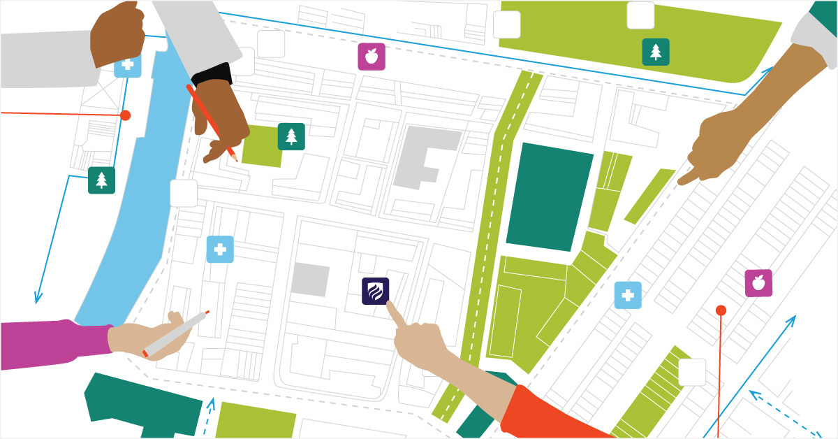


MAPPING AND GIS
A-M Surveys Limited offers comprehensive Mapping and GIS services using the latest open-source and/or commercial software like ESRI, QGIS, PostgreSQL/PostGIS, etc. The services provided include but not limited to:
- GIS Mapping services using Satellite Imagery
- Map data digitization services
- GIS Web and Mobile applications development
- GIS-based custom application development
- GIS Data conversion
