

SATELLITE IMAGERY
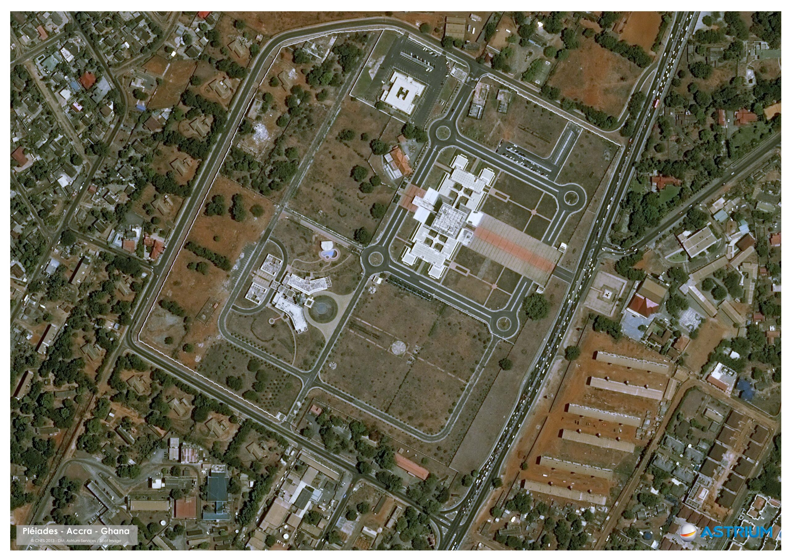
A-M Surveys Limited is an authorized reseller of AIRBUS imagery. Airbus is a leading global supplier of varied optical Constellation satellites Pléiades, SPOT, Vision-1, and DMC as well as the Radar Constellation (consisting of TerraSAR-X, TanDEM-X, and PAZ). The Satellite imagery includes high resolution SPOT products (1.5m) and very high resolution Pléiades products (50cm) and Neo (30cm). Thus, professional high-quality (historical and current) satellite imagery is/are used for the under-listed, and others are available for you;
- Building footprint mapping
- Street and Property Addressing
- Oil and Gas Exploration
- Mineral exploration
- Change Detection
- Classification to create a Land Use / Land Cover Map
- Flood observation
- Afforestation and Deforestation monitoring
- Topographic Mapping (using Stereo imagery)
