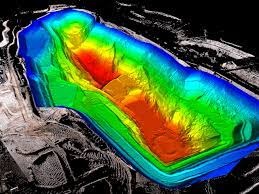
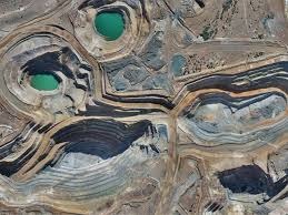
Volumetric analysis is required during various forms of earth/ground works including:
- Construction (road, building, bridges, trenches, dams, etc.)
- Sand winning
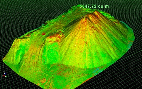
- Mining (stockpiles of ore, waste, topsoil, pit volume, etc.)
For earthwork materials to be hauled off a site, or be filled into a hollow section in the earth, a lot of precision is needed to ensure estimated voulmes match for cost-effectiveness in execution. The accurate determination of volumes in such instances have often been a subject of dispute. A-M Surveys engineers continue to execute surveys to produce precise volumetric calculations as required. Clients are assured of results that meet industry standards. You can count on us to collect precise 3-dimensional data on-site irrespective of the challenging nature (size of coverage, terrain, weather,…) of the project. We make use of various advanced means of data collection such as: -
- UAV Survey
- GNSS/GPS Survey
- Total station
- 3D Laser Scanners and Lidar
Data formats are usually text files, 3D models, or 2D cross-sectional profiles.
Our cherished clients have always enjoyed guaranteed services. Reach out to us today and enjoy same.